Tour du Valat
Tour du Valat
  • Navigation access
  • Content access
  • Footer access
  • Adopt a flamingo
  • Documentary portal
  • Search
  • fr
  • en
  • The Tour du Valat
    • History and values
    • The estate
    • Our team
    • Organisation chart and CVs
    • Governance and budget
    • Partners and sponsors
    • Visiting the Tour du Valat
  • Mediterranean wetlands
    • Types of Mediterranean wetlands
    • Threats, issues and protection
    • Spotlight on the Camargue
    • The Mediterranean Alliance for Wetlands
    • The Mediterranean Wetlands Observatory
  • Our actions
  • Media
    • The Library
    • Recent publications
    • Activity reports
    • The HAL portal
    • Books, booklets and reports
    • Institutionnal documents
    • Photo gallery
    • Videos
  • News
  • Support us
    • Adopt a Flamingo
    • Make a contribution
    • Make a donation or bequest
  • Navigation access
  • Content access
  • Footer access
  • Adopt a flamingo
  • Documentary portal
  • Search
  • fr
  • en
Tour du Valat
  • The Tour du Valat
    • History and values
    • The estate
    • Our team
    • Organisation chart and CVs
    • Governance and budget
    • Partners and sponsors
    • Visiting the Tour du Valat
  • Mediterranean wetlands
    • Types of Mediterranean wetlands
    • Threats, issues and protection
    • Spotlight on the Camargue
    • The Mediterranean Alliance for Wetlands
    • The Mediterranean Wetlands Observatory
  • Our actions
  • Media
    • The Library
    • Recent publications
    • Activity reports
    • The HAL portal
    • Books, booklets and reports
    • Institutionnal documents
    • Photo gallery
    • Videos
  • News
  • Support us
    • Adopt a Flamingo
    • Make a contribution
    • Make a donation or bequest
Research institute for the conservation of Mediterranean wetlands
  • Home
  • News
  • Publications
  • New article – Large-scale mapping of existing and lost wetlands: Earth Observation data and tools to support restoration in the Sebou and Medjerda river basins
Back to News
  • A- Switch to smaller font size
  • A+ Switch to biggest font size
  • Print
  • Share
  • RSS
Publications Mediterranean • Published on 6 February 2024

New article – Large-scale mapping of existing and lost wetlands: Earth Observation data and tools to support restoration in the Sebou and Medjerda river basins

This article was recently published in the journal Euro-Mediterranean Journal for Environmental Integration. The article reveals how Earth Observation (EO) tools can be used to pre-identify sites suitable for large-scale wetland restoration. This is achieved through mapping and delineating existing and lost wetland habitats while analyzing their current usage. Furthermore, it provides an estimate of the efforts required to regenerate areas that have undergone alterations or losses.

You can access it on the Tour du Valat web documentary portal.


Sebou Basin, Morocco. Photo: © O.Belloulid | LPM

Abstract:

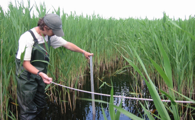
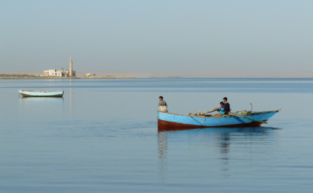
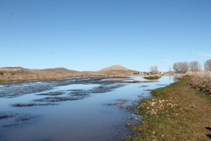
Mediterranean wetlands are the richest and most productive ecosystems in the region, and are essential for climate change adaptation and mitigation. However, despite their importance, they have suffered significant destruction over time. We estimate that half of the natural wetlands have been lost since the 1970s, and the regional trend shows no signs of slowing down. It is therefore urgent to implement concrete solutions that can preserve the remaining wetlands and restore those that have been lost. The increasing availability of free and open Earth Observation (EO) data and tools has provided a basis for mapping these ecosystems and monitoring their status and trends. In this paper, we show how EO-based data and tools can support the pre-identification of candidate sites for wetlands restoration at large scale through the mapping and delineation of existing and lost wetland habitats, their current land use status, and the estimation of the efforts needed to recreate the lost and transformed ones. We used this approach in the Sebou river basin in Morocco and the transboundary Medjerda watershed between Algeria and Tunisia. The resulting products, i.e., Potential Wetland Areas and Potentially Restorable Wetlands maps, enabled the identification of more than 7000 km2 and 1700 km2 of lost wetland habitats that could be regained in the Sebou and Medjerda basins, respectively. These results hold immense value for water resources management and land planning as they can enhance and assist prioritization efforts for wetland restoration at local, national, and regional scales. They can serve as baseline data to identify candidate sites to implement wetland restoration actions as Nature-based Solutions, regenerate their habitats, and restore the ecosystem services they provide to society.


Bibliographical reference: Guelmami, A. Large-scale mapping of existing and lost wetlands: Earth Observation data and tools to support restoration in the Sebou and Medjerda river basins. Euro-Mediterr J Environ Integr (2023). https://doi.org/10.1007/s41207-023-00443-6

Newsletter

Keep up with Tour du Valat news:
Show previous newsletters
News Archives
  • 2025
  • 2024
  • 2023
  • 2022
  • 2021
  • 2020
  • 2019
  • 2018
  • 2017
  • 2016
  • 2015
  • 2014
  • 2013
Agenda Archives
  • 2024
  • 2023
  • 2022
  • 2021
  • 2020
  • 2019
  • 2018
  • 2017
  • 2016
  • 2015
  • 2014
  • 2013

Related
projects

All projects
Ongoing project
Management and restoration of Natural and Agricultural ecosystems

TUNE UP : an innovative european project for the concerted management of marine protected areas in the mediterranean sea

Albania, France, Greece, Italia, Montenegro, Slovenia, Spain • 2019-2022
Completed project

Conservation Evidence

Mediterranean • 2017-2020
Ongoing project
Management and restoration of Natural and Agricultural ecosystems

Petit Badon: Recreating a temporary marsh on former agricultural land

Camargue
Completed project

Estimating long-term biodiversity trends in the Camargue

Camargue, France, Mediterranean • 2017-2018
Tour du Valat
Tour du Valat

Le Sambuc - 13200 Arles
France

Phone : +33 (0)4 90 97 20 13

[email protected]


Contact
  • Practical information
    • Calendar
    • Past events
    • Vacancies
    • Interactive map
    • Logo & access map
  • Legal information
    • Legal notice
    • Cookie policy (EU)
  • Linkedin
  • Facebook
  • Vimeo
  • RSS
Gérer le consentement aux cookies
We use cookies to enhance your experience on our web site.
Functional Always active
The technical storage or access is strictly necessary for the legitimate purpose of enabling the use of a specific service explicitly requested by the subscriber or user, or for the sole purpose of carrying out the transmission of a communication over an electronic communications network.
Settings
Le stockage ou l’accès technique est nécessaire dans la finalité d’intérêt légitime de stocker des préférences qui ne sont pas demandées par l’abonné ou l’utilisateur.
Statistics
The technical storage or access that is used exclusively for statistical purposes. Le stockage ou l’accès technique qui est utilisé exclusivement dans des finalités statistiques anonymes. En l’absence d’une assignation à comparaître, d’une conformité volontaire de la part de votre fournisseur d’accès à internet ou d’enregistrements supplémentaires provenant d’une tierce partie, les informations stockées ou extraites à cette seule fin ne peuvent généralement pas être utilisées pour vous identifier.
Marketing
The technical storage or access is required to create user profiles to send advertising, or to track the user on a website or across several websites for similar marketing purposes.
Manage options Manage services Manage {vendor_count} vendors Read more about these purposes
See settings
{title} {title} {title}