SWOS (Satellite-based Wetlands Observation Service) is a Horizon-2020 project, funded by the European Commission for three and a half years (June 2015 – November 2018). It unites 13 partners from 8 European countries (three universities, four private companies, and six NGOs), and aims to provide assistance to wetland management and conservation specialists (site managers, decision-makers, and scientists) for protecting, enhancing, and restoring wetland habitats. Its actions will mainly entail providing useful information, such as maps and indicators, which are required to understand, characterise, and monitor the structure and functioning of these ecosystems, with one particularity linked to the fact that most of this information will be gathered using earth observation (EO) tools.
SWOS will make it possible to:
- provide maps and indicators derived from earth observation data;
- promote and improve the integration of wetlands through sectoral policies;
- contribute to the development of a world wetlands observation system that will provide support for the monitoring of Sustainable Development Goals (SDGs) for water and biodiversity;
- foster the development of wetland conservation and restoration measures that can help to maintain biodiversity and the ecosystem services wetlands provide;
- assist wetland management authorities in their monitoring programmes, concerning countries’ international obligations stated in European Directives, the Ramsar Convention, the CBD, and other treaties.
Why should we be interested in wetlands?
Wetlands are biodiversity hotspots and play an essential role in providing invaluable ecosystem services to people, such as supplying freshwater, protecting against floods and droughts, and regulating the climate. Paradoxically, they are also among the ecosystems that declined the most rapidly in the second half of the 20th century, particularly due to the growing threats affecting them (natural habitat destruction, over-exploitation of water resources and their biodiversity, and pollution).
In addition, the information on where they are located, their ecological characteristics, and the services they provide are essential for their conservation but they generally are also rare, difficult to find and/or non-existent. As a result, wetland habitats are all too often not given adequate consideration in governance policies and management practices.
How does the project function?
SWOS makes use of all the opportunities offered by free satellite data to generate maps and indicators that can be applied everywhere, and which have been tested on a set of 50 pilot sites in Europe, Africa, and Asia. It is based on already existing approaches, but also on the development of new innovative methods. The observations repeated will make it possible to dynamically monitor the status of wetlands and changes (as well as what is driving these changes) at large spatial and temporal scales. Ultimately, SWOS will integrate satellite data, maps, and field data in a geo-portal that will be connected to other environmental monitoring systems. These developments will provide future users with a single access point for locating, accessing, and processing spatial information on wetlands.
Many mapping products are set to be produced concerning:
- Wetland locations and boundaries at a large scale to support national inventories;
- Water quality (intra- and inter-annual monitoring of physical disturbances of large bodies of water);
- Mapping of wetland habitats and land cover at the site and catchment area level (status and trends in changes over the last 40 years);
- Monitoring of surface temperature variations to better detect land cover changes in and around wetlands;
- Characterisation of the relative humidity of the land in the aim of delineating wetlands habitats;
- Monitoring surface water dynamics (seasonal and inter-annual variations);
- Indicators for monitoring the status and trends of wetlands, derived from the mapping products indicated above, and which will be calculated automatically.
-
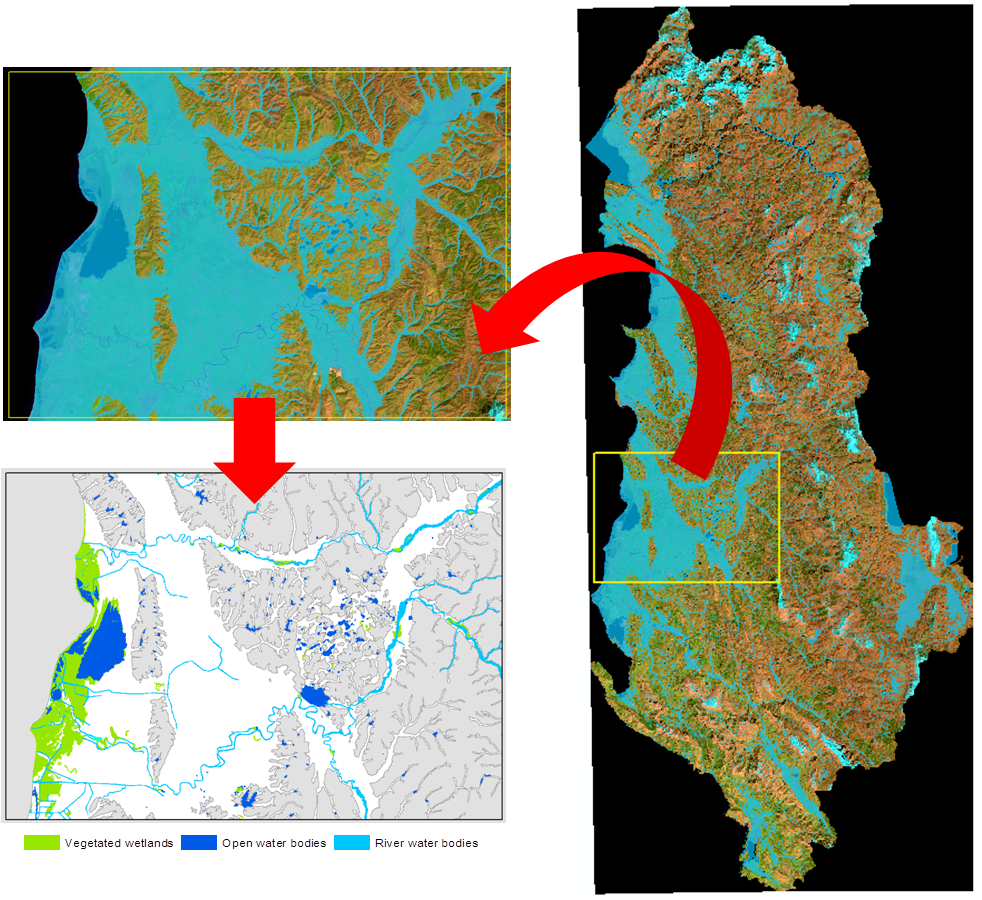
Figure 1: Example of a SWOS product that can locate and delineate wetlands in Albania by satellite, with the map of wetland habitats corresponding to the definitions given in SDG indicator 6.6.1:Total extent of water-related ecosystems)
At the end of the SWOS project, the methods (tutorials) and tools (software) for creating these products will be made available and freely accessible on line for everyone.
In addition, in the goal of promoting a multi-level approach, several users working at different geographic scales (global, regional, national, and local) have been involved since the beginning of the project in the methodology design phases. This approach will especially enable the new opportunities opened up by the use of satellite data to be better identified in the aim of improving management, planning, and decision making in the interest of wetlands. It will also provide harmonised information on these habitats at all of these scales.
In this context, the Tour du Valat’s contributions will take place at all the levels at which the SWOS project is being implemented:
- supporting the study of the needs of the users targeted by the project (organisations from more than 25 different countries),
- participating in the development and design of wetland monitoring methods using satellites (in particular, indicators and mapping of wetlands at a large spatial scale, to support local and national inventories),
- demonstrations at the 15 pilot sites and catchment areas in the Mediterranean region,
- disseminating and transferring knowledge, and capacity building through several regional training workshops (in the Balkans, the Maghreb, West Africa, and Arab countries in the Gulf).
 |
 |
 |
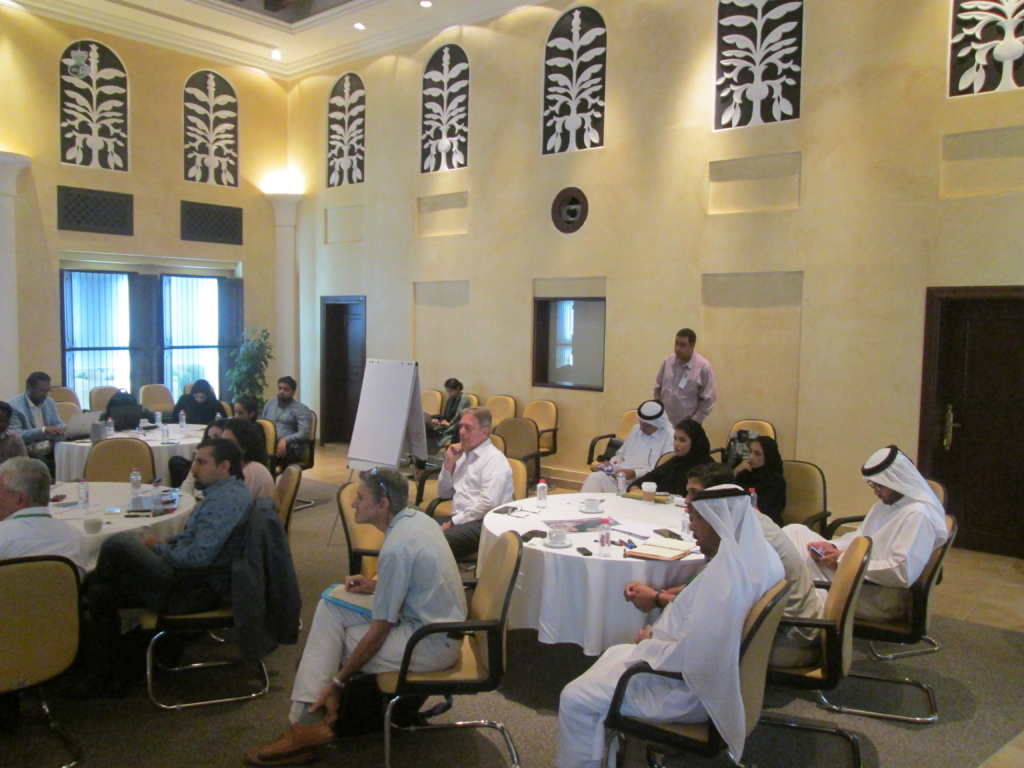 |
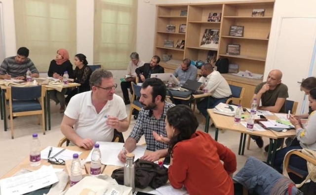
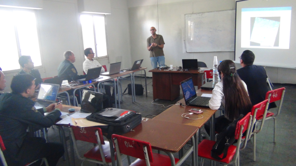
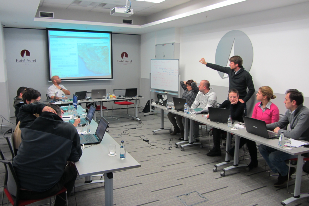
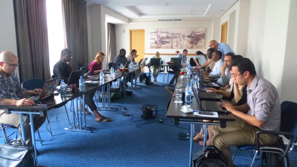
Regional SWOS training organised by the Tour du Valat in cooperation with other people involved in the project in Algeria (top left), in Montenegro (top right), Morocco (bottom left), and the United Arab Emirates (bottom right)
Finally, by providing a single access point to data (via the geo-portal), and by developing a multi-level, harmonised approach (which will be demonstrated at 50 pilot sites in over 25 countries, on three continents), by means of the SWOS project the European Union will become a leader lobbying for better consideration of wetlands in management processes, while contributing to their integration in the political agendas of different countries.
Contact: Anis Guelmami, Project Leader at the Mediterranean Wetlands Observatory / Tour du Valat (e-mail)