Tour du Valat
Tour du Valat
  • Navigation access
  • Content access
  • Footer access
  • Adopt a flamingo
  • Documentary portal
  • Search
  • fr
  • en
  • The Tour du Valat
    • History and values
    • Luc Hoffmann
    • The estate
    • Our team
    • Organisation chart and CVs
    • Governance and budget
    • Partners and sponsors
    • Hosted organisations
    • Eco-responsibility at the Tour du Valat
    • Visiting the Tour du Valat
  • Mediterranean wetlands
    • Types of Mediterranean wetlands
    • Threats, issues and protection
    • Spotlight on the Camargue
    • The Mediterranean Alliance for Wetlands
    • The Mediterranean Wetlands Observatory
  • Our actions
  • Media
    • The Library
    • Recent publications
    • Activity reports
    • The HAL portal
    • Books, booklets and reports
    • Institutionnal documents
    • Photo gallery
    • Videos
  • News
  • Support us
    • Adopt a Flamingo
    • Make a contribution
    • Make a donation or bequest
  • Navigation access
  • Content access
  • Footer access
  • Adopt a flamingo
  • Documentary portal
  • Search
  • fr
  • en
Tour du Valat
  • The Tour du Valat
    • History and values
    • Luc Hoffmann
    • The estate
    • Our team
    • Organisation chart and CVs
    • Governance and budget
    • Partners and sponsors
    • Hosted organisations
    • Eco-responsibility at the Tour du Valat
    • Visiting the Tour du Valat
  • Mediterranean wetlands
    • Types of Mediterranean wetlands
    • Threats, issues and protection
    • Spotlight on the Camargue
    • The Mediterranean Alliance for Wetlands
    • The Mediterranean Wetlands Observatory
  • Our actions
  • Media
    • The Library
    • Recent publications
    • Activity reports
    • The HAL portal
    • Books, booklets and reports
    • Institutionnal documents
    • Photo gallery
    • Videos
  • News
  • Support us
    • Adopt a Flamingo
    • Make a contribution
    • Make a donation or bequest
Research institute for the conservation of Mediterranean wetlands
  • Home
  • News
  • News
  • Suzanne Catteau’s PhD – Using GIS to map the functions and functioning of wetlands in the Rhône-Méditerranée Corse basin
Back to News
  • A- Switch to smaller font size
  • A+ Switch to biggest font size
  • Print
  • Share
  • RSS
News Mediterranean • Published on 24 January 2024

Suzanne Catteau’s PhD – Using GIS to map the functions and functioning of wetlands in the Rhône-Méditerranée Corse basin

Suzanne Catteau, a Cifre PhD student from Tour du Valat, Agence de l’Eau and UMR Passages, successfully defended her thesis entitled :

Bulles de dialogue et cellules raster – Spatialiser les fonctions et le fonctionnement des zones humides par SIG dans le bassin Rhône-Méditerranée Corse

Suzanne Catteau, PhD

Suzanne completed her PhD under the supervision of Dr. Laurent Couderchet, Lecturer at Bordeaux Montaigne University.

Find out more about Suzanne Catteau’s thesis.

Abstract :

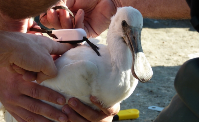
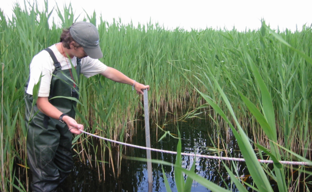
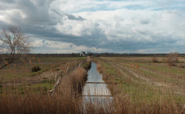
Wetland boundaries have been the subject of tensions for over thirty years. How to design protection independently of zoning? The French river basin agency, “Agence de l’Eau Rhône-Méditerranée Corse”, proposes to develop supports of dialogue based on raster representations – rather than vector -, to show ecosystem functions and highlight the continuity of their functioning.

To achieve this goal, a Cifre convention gathered the “Agence de l’Eau”, the “Tour du Valat”, and the “UMR Passages”, with quite different scientific cultures. In this Action-Research project, I designed various prototypes to answer the Agency’s demand. Initial proposals have raised conceptual disagreements between the three institutions of the partnership. Nevertheless, GIS provokes a dialogue between engineering sciences, conservation sciences and critical sciences, resulting in proposals that are transmitted to local experts, who in turn ask for adjustments adapted to their practices. Dialogues with various partners lead to several GIS proposals. GIS is neither neutral nor factual, it is used as a tool of authority or dialogue. The use of critical GIS highlights power games which set aside local elected representatives from mapping. That is why an experimentation proposes the co-construction of a prototype with this audience for a functional integration of wetlands into territorial strategies. Opening the model black box leads to a demystification of GIS and maps, putting local decision-makers as actors.


For further

Downloads

Suzanne Catteau's PhD

Newsletter

Keep up with Tour du Valat news:
Show previous newsletters
News Archives
  • 2025
  • 2024
  • 2023
  • 2022
  • 2021
  • 2020
  • 2019
  • 2018
  • 2017
  • 2016
  • 2015
  • 2014
  • 2013
Agenda Archives
  • 2024
  • 2023
  • 2022
  • 2021
  • 2020
  • 2019
  • 2018
  • 2017
  • 2016
  • 2015
  • 2014
  • 2013

Related
projects

All projects
Ongoing project
Management and restoration of Natural and Agricultural ecosystems

WaterLANDS – European Green Deal project will lead largescale restoration of European wetlands

World • 2021-2026
Completed project

WetNet: coordinated management and networking of Mediterranean wetlands

Camargue, France, Mediterranean • 2017-2019
Completed project

Monitoring water resources in Mediterranean wetlands

Mediterranean • 2011-2020
Completed project

Ecopotential

Camargue, France, Mediterranean • 2015-2019
Tour du Valat
Tour du Valat

Le Sambuc - 13200 Arles
France

Phone : +33 (0)4 90 97 20 13

[email protected]


Contact
  • Practical information
    • Calendar
    • Past events
    • Vacancies
    • Interactive map
    • Logo & access map
  • Legal information
    • Legal notice
    • Cookie policy (EU)
  • Linkedin
  • Facebook
  • Vimeo
  • RSS
Gérer le consentement aux cookies
We use cookies to enhance your experience on our web site.
Functional Always active
The technical storage or access is strictly necessary for the legitimate purpose of enabling the use of a specific service explicitly requested by the subscriber or user, or for the sole purpose of carrying out the transmission of a communication over an electronic communications network.
Settings
Le stockage ou l’accès technique est nécessaire dans la finalité d’intérêt légitime de stocker des préférences qui ne sont pas demandées par l’abonné ou l’utilisateur.
Statistics
The technical storage or access that is used exclusively for statistical purposes. Le stockage ou l’accès technique qui est utilisé exclusivement dans des finalités statistiques anonymes. En l’absence d’une assignation à comparaître, d’une conformité volontaire de la part de votre fournisseur d’accès à internet ou d’enregistrements supplémentaires provenant d’une tierce partie, les informations stockées ou extraites à cette seule fin ne peuvent généralement pas être utilisées pour vous identifier.
Marketing
The technical storage or access is required to create user profiles to send advertising, or to track the user on a website or across several websites for similar marketing purposes.
Manage options Manage services Manage {vendor_count} vendors Read more about these purposes
See settings
{title} {title} {title}