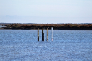
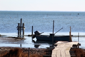
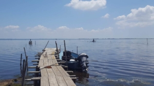
Cet article vient d’être publié dans la revue Remote Sensing. L’objectif de cet article était d’examiner les avantages des caractéristiques prédéfinies d’un futur capteur hyperspectral (appelé BIODIVERSITY) dans l’estimation de la bathymétrie et de la composition benthique de milieux lagunaires de faibles profondeurs, avec une application à l’étang du Vaccarès (France).
Vous pouvez le retrouver sur le portail documentaire de la Tour du Valat [1].
Résumé: The relevant benefits of hyperspectral sensors for water column determination and seabed features mapping compared to multispectral data, especially in coastal areas, have been demonstrated in recent studies. In this study, we used hyperspectral satellite data in the accurate mapping of the bathymetry and the composition of water habitats for inland water. Particularly, the identification of the bottom diversity for a shallow lagoon (less than 2 m in depth) was examined. Hyperspectral satellite data were simulated based on aerial hyperspectral imagery acquired above a lagoon, namely the Vaccarès lagoon (France), considering the spatial and spectral resolutions, and the signal-to-noise ratio of a satellite sensor, BIODIVERSITY, that is under study by the French space agency (CNES). Various sources of uncertainties such as inter-band calibration errors and atmospheric correction were considered to make the dataset realistic. The results were compared with a recently launched hyperspectral sensor, namely the DESIS sensor (DLR, Germany). The analysis of BIODIVERSITY-like sensor simulated data demonstrated the feasibility to satisfactorily estimate the bathymetry with a root-mean-square error of 0.28 m and a relative error of 14% between 0 and 2 m. In comparison to open coastal waters, the retrieval of bathymetry is a more challenging task for inland waters because the latter usually shows a high abundance of hydrosols (phytoplankton, SPM, and CDOM). The retrieval performance of seabed abundance was estimated through a comparison of the bottom composition with in situ data that were acquired by a recently developed imaging camera (SILIOS Technologies SA., France). Regression coefficients for the retrieval of the fractional species abundances from the theoretical inversion and measurements were obtained to be 0.77 (underwater imaging camera) and 0.80 (in situ macrophytes data), revealing the potential of the sensor characteristics. By contrast, the comparison of the in situ bathymetry and macrophyte data with the DESIS inverted data showed that depth was estimated with an RSME of 0.38 m and a relative error of 17%, and the fractional species abundance was estimated to have a regression coefficient of 0.68.
Référence bibliographique: Minghelli,A.; Vadakke-Chanat, S.; Chami, M.; Guillaume, M.; Migne, E.; Grillas, P.; Boutron, O. Estimation of Bathymetry and Benthic Habitat Composition from Hyperspectral Remote Sensing Data (BIODIVERSITY) Using a Semi-Analytical Approach. Remote Sens.2021,13,1999. https://doi.org/10.3390/rs13101999 [2]