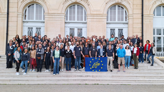
After eight years of work to improve the conservation of marine habitats – including coastal lagoons – European Life Marha project (2018-2025), led by the French Office for Biodiversity with 13 scientific and management partners, has come to an end. As part of this project, the Pôle-relais lagunes méditerranéennes, supported by the Tour du Valat, assisted all stakeholders involved in the management of Natura 2000 sites in assessing the conservation status of Priority Habitat 1150* ‘Coastal lagoons’.
The main results were presented at the closing conference [1] on the 1st of April 2025 in Marseille.
Understanding in order to act
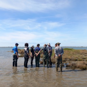
Mediterranean lagoons are a highly diverse habitat: some are permanent, others temporary, salty or slightly salty. This complexity makes them difficult to monitor. The Pôle-relais lagunes méditerranéennes, coordinated by the Tour du Valat in partnership with the Conservatoire d’espaces naturels d’Occitanie and the Office de l’Environnement de la Corse, has supported Natura 2000 managers in assessing these environments using a national method based on 12 indicators.
Résultats :
The results:
- More than 500 participants mobilised through 15 training courses and 17 workshops on implementing the assessment;
- The first mapping of habitat 1150* ‘Coastal lagoons’ habitat, using a standardised method covering nearly 86,000 ha along the French Mediterranean coastline, with 3,281 lagoons identified, 92% of which are permanent (46,205 ha in Provence-Alpes-Côte d’Azur region, 36,080 ha in Occitanie and 3,281 ha in Corsica).
- A map of the seagrass bed area of eight Natura 2000 sites produced using machine learning.
The assessment results at the Natura 2000 site level are mixed, with many indicators showing an altered or degraded state. However, one major positive result concerns the habitat area indicator. The Tour du Valat’s work based on remote sensing has shown that the habitat area has remained stable.
Using data for better management
While certain indicators reveal fragile areas (pollution, climate impact, etc.), assessments now make it possible to:
- Prioritise management actions,
- Adapt measures according to the pressures observed,
- Enhance knowledge of lagoons that have been little studied until now, such as small coastal lagoons not covered by the WFD.
All the data has been centralised in the OFB database and is accessible via interactive mapping, providing a valuable tool for managers and researchers.
Outlook
80% of managers say they are ready to repeat the assessment, but technical and financial support is still needed. The national method must be adapted to the diversity of lagoon types, and it is recommended that the Natura 2000 objective documents be updated to include specific action sheets for HIC 1150*. Mapping must continue to evolve and be enriched to meet the growing needs of managers.
These elements will be crucial to maintain the momentum on the managers side and to achieve long-term objectives. Assessing the state of these ecosystems is indeed a major challenge, essential to ensure the sustainable management of these fragile environments, which are true sentinels of climate change.
Read the full report in French >> [2]